ID
1340106
$ 227.60
1-2 weeks delivery time
-
+
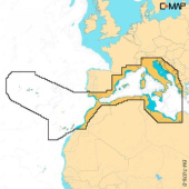
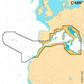
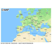
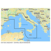
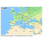
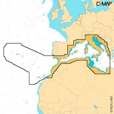
C-MAP Discover X Mapping Western Mediterranean offers clear and modern vector charts with high-resolution bathymetry, custom depth shading, tides, currents, autorouting, and full C-MAP app integration, designed for confident navigation on Simrad NSX and B&G Zeus S chartplotters across the Western Mediterranean.
- Description
- Ask a Question
-
C-Map Discover X Mapping Western Mediterranean
C-MAP Discover X Mapping Western Mediterranean delivers a modern and intuitive navigation solution for boaters and anglers seeking efficiency, accuracy, and confidence on the water. Designed for seamless compatibility with Simrad NSX, NSX Ultrawide, and B&G Zeus S chartplotters, this next-generation cartography enhances every journey across the Western Mediterranean.
Key Navigation Benefits
- Comprehensive vector maps with clear and accurate details at all zoom levels
- High-Resolution Bathymetry for precise seabed visualization and fishing spot identification
- Custom depth shading to highlight critical depth zones based on your boating style
- Optimized day and night display modes for excellent readability in all conditions
- Integrated tides and currents data for safe and efficient route planning
- Subscription-free autorouting for automatic route generation
- Full synchronization with the C-MAP app for trip planning and waypoint management
- Advanced customization options for a personalized chart display
Technical Data
Coverage Area Western Mediterranean Chart Type Vector Mapping with HR Bathymetry Compatibility Simrad NSX, NSX Ultrawide, B&G Zeus S Size L
Brand: C-MAP
Article: M-EM-T-076-D-MS -
Popular products