ID
1340109
$ 356.43
1-2 weeks delivery time
-
+
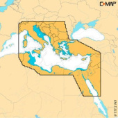
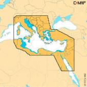
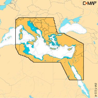
C-MAP Reveal X Mapping Eastern Mediterranean combines 3D shaded terrain, satellite overlay, detailed vector charts, and high-resolution bathymetry to enhance situational awareness and safe navigation across the Eastern Mediterranean.
- Description
- Ask a Question
-
C-Map Reveal X Mapping Eastern Mediterranean
C-MAP Reveal X Mapping Eastern Mediterranean offers premium nautical charting with rich visual detail and powerful navigation tools. Ideal for sailors and anglers, this solution enhances awareness and safety across the Eastern Mediterranean and integrates seamlessly with Simrad NSX, NSX Ultrawide, and B&G Zeus S chartplotters.
Advanced Mapping Features
- 3D shaded terrain for enhanced understanding of seabed formations
- Satellite image overlay for realistic coastal and harbor navigation
- Comprehensive vector charts based on reliable official sources
- High-Resolution Bathymetry with detailed depth contours
- Custom depth shading to match individual navigation needs
- Optimized day and night viewing modes
- C-MAP app integration for planning, waypoints, and synchronization
Technical Data
Coverage Area Eastern Mediterranean Chart Type Reveal X with 3D Shaded Terrain Compatibility Simrad NSX, NSX Ultrawide, B&G Zeus S Size L
Brand: C-MAP
Article: M-EM-T-111-R-MS -
Popular products