

ID
1372252
$ 80.58
1-2 weeks delivery time
-
+
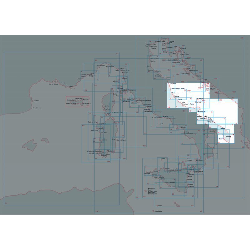
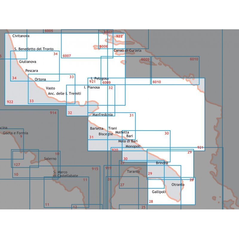
Marine navigation chart from Vieste to Porto S. Giorgio in the Adriatic Sea, issued by the Istituto Idrografico della Marina at scale 1:250,000 in 116 x 83 cm format.
- Description
- Ask a Question
-
Navigation Chart South-Central Adriatic Sea From Vieste To Porto S.Giorgio
Official nautical chart covering the south-central Adriatic Sea route from Vieste to Porto S. Giorgio. Produced by the Istituto Idrografico della Marina, this chart provides dependable maritime mapping for coastal navigation and route monitoring. Printed in a 116 x 83 cm format for onboard use.
Technical Data
Chart Number 922 Scale 1:250,000 Paper Size 116 x 83 cm Barcode 8054806411050
Brand: Istituto Idrografico della Marina
-
Popular products
-
 1-2 weeks delivery time$ 80.58
 -
 1-2 weeks delivery time$ 80.58
 -
-
 1-2 weeks delivery time$ 80.58
 -
 1-2 weeks delivery time$ 80.58
 -
 1-2 weeks delivery time$ 80.58
 -
-
-
-