

ID
1372223
$ 80.58
1-2 weeks delivery time
-
+
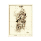
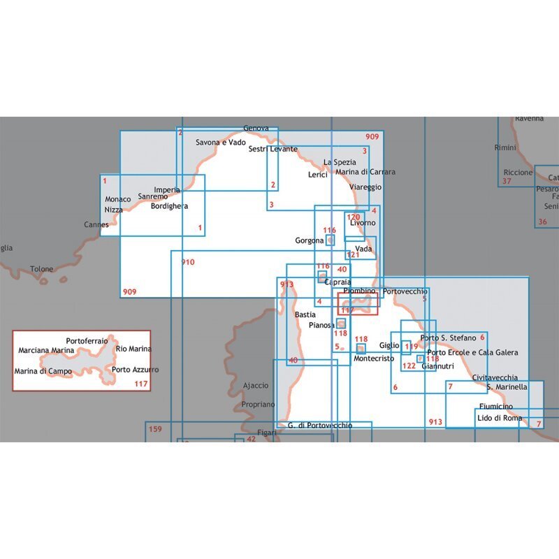
Coastal navigation chart of Capraia and Gorgona Islands in the Ligurian and north-central Tyrrhenian Sea, issued by the Istituto Idrografico della Marina at scale 1:25,000 in 83 x 58 cm format.
- Description
- Ask a Question
-
Navigation Chart Ligurian Sea And North-Central Tyrrhenian Sea Capraia And Gorgona Islands
Detailed nautical chart covering the Capraia and Gorgona Islands in the Ligurian Sea and north-central Tyrrhenian Sea. Manufactured by the Istituto Idrografico della Marina, this chart supports accurate coastal navigation and maritime route planning. Printed on durable paper in an 83 x 58 cm format for practical onboard use.
Technical Data
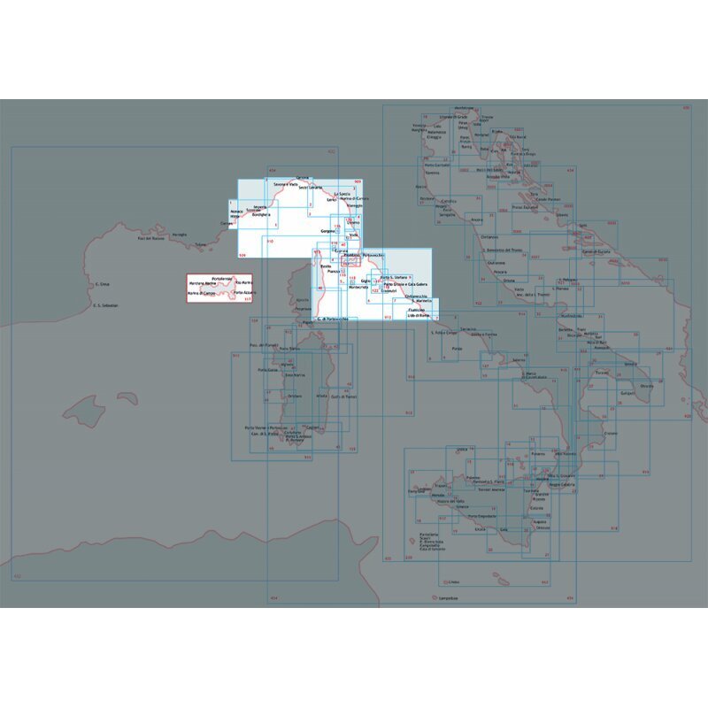
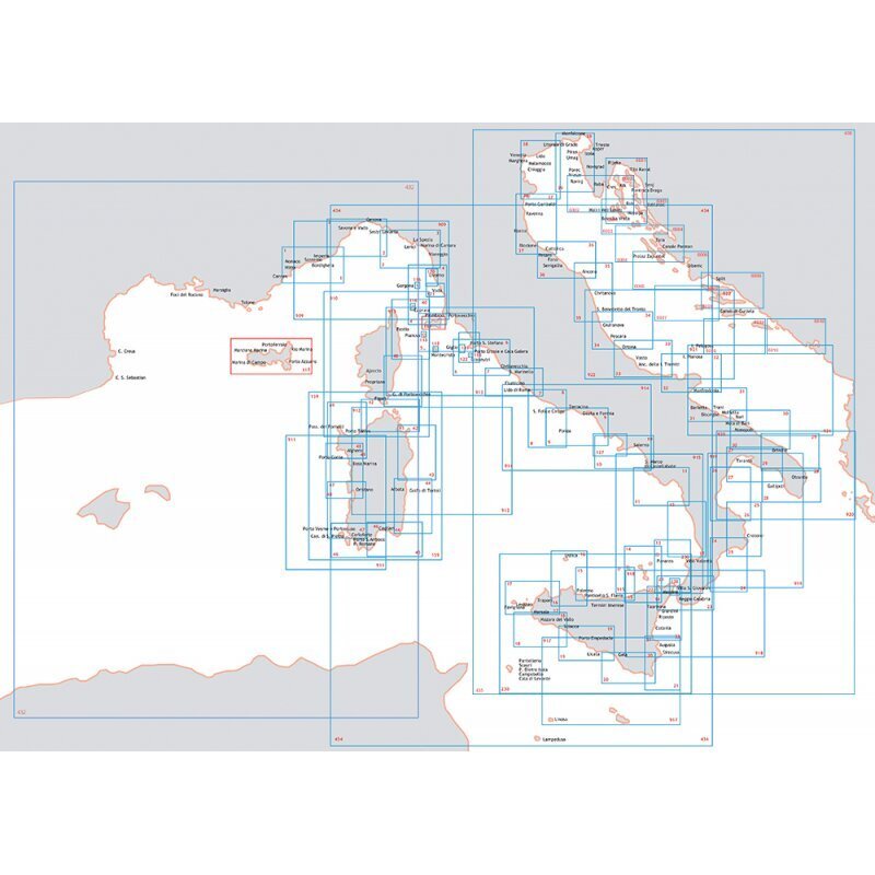
Chart Number 116 Scale 1:25,000 Paper Size 83 x 58 cm Barcode 8054806410718
Brand: Istituto Idrografico della Marina
-
Popular products
-
 1-2 weeks delivery time$ 80.58
 -
 1-2 weeks delivery time$ 80.58
 -
 1-2 weeks delivery time$ 80.58
 -
 1-2 weeks delivery time$ 80.58
 -
 1-2 weeks delivery time$ 55.03
 -
 1-2 weeks delivery time$ 80.58
 -
 1-2 weeks delivery time$ 80.58
 -
 1-2 weeks delivery time$ 80.58
 -
 1-2 weeks delivery time$ 80.58
 -