


ID
1372188
$ 80.58
1-2 weeks delivery time
-
+
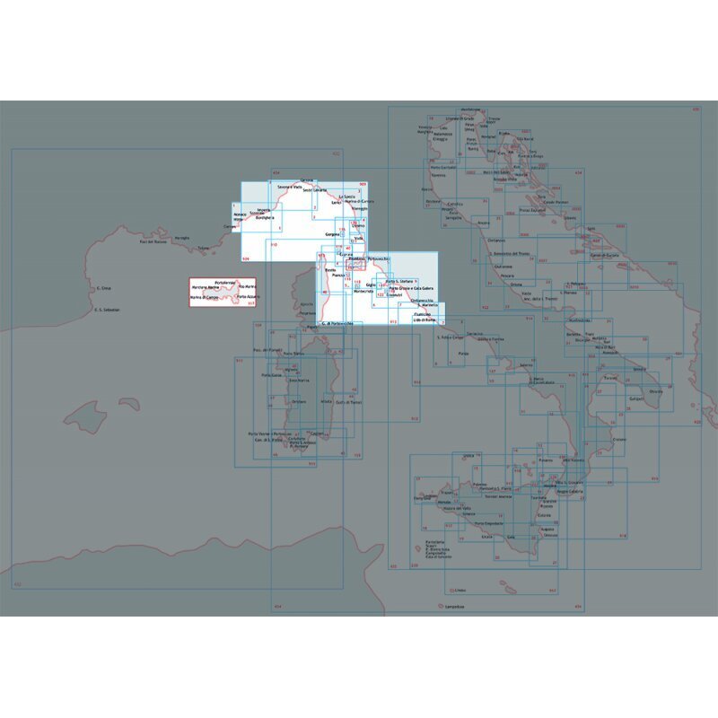
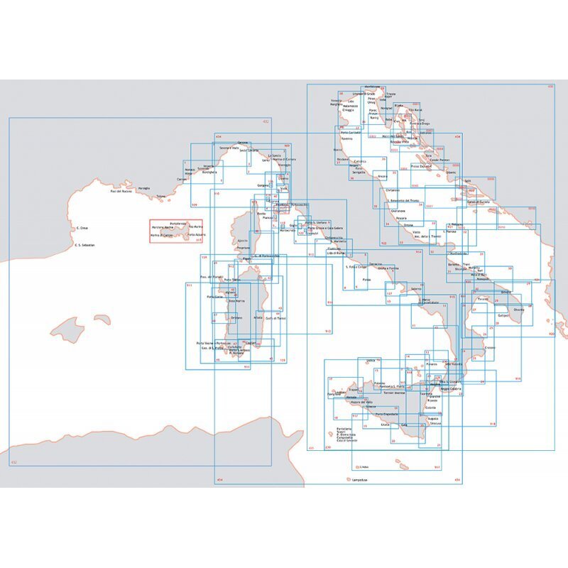
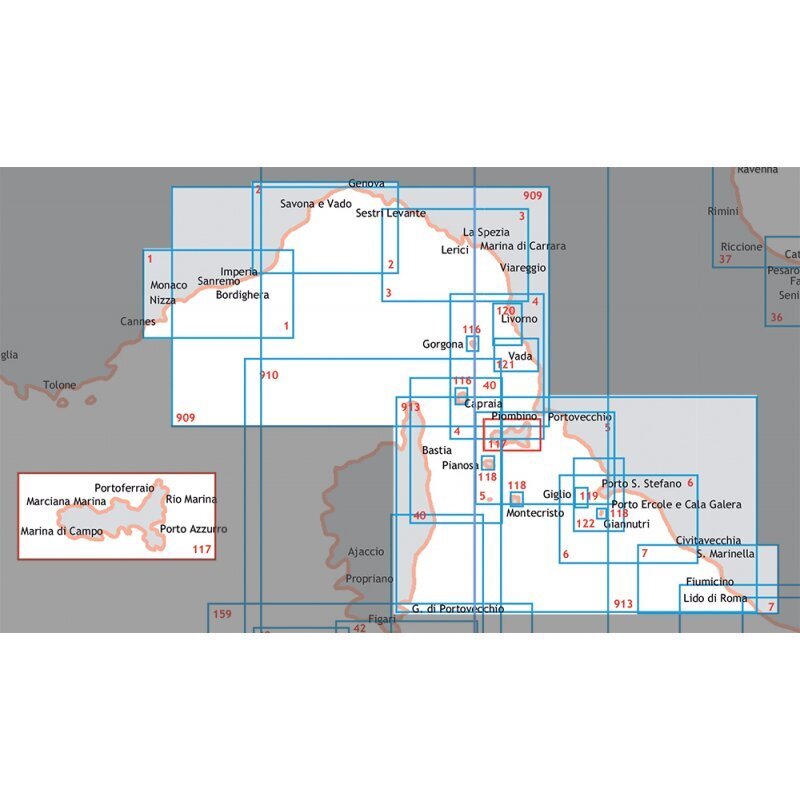
Nautical chart covering the Ligurian Sea from Imperia to Portofino, issued by the Istituto Idrografico della Marina, at scale 1:100,000 and printed in 116 x 83 cm format for clear maritime reference.
- Description
- Ask a Question
-
Navigation Chart Ligurian Sea And North-Central Tyrrhenian From Imperia To Portofino
Professional nautical chart for navigation across the Ligurian Sea and north-central Tyrrhenian waters from Imperia to Portofino. Issued by the Istituto Idrografico della Marina, this chart provides reliable marine mapping for sailors and navigators. The large paper format ensures excellent visibility and ease of use during navigation.
Technical Data
Chart Number 2 Scale 1:100,000 Paper Size 116 x 83 cm Barcode 8057741267423
Brand: Istituto Idrografico della Marina
-
Popular products
-
 1-2 weeks delivery time$ 80.58
 -
 1-2 weeks delivery time$ 80.58
 -
 1-2 weeks delivery time$ 13.88
 -
 1-2 weeks delivery time$ 80.58
 -
 1-2 weeks delivery time$ 80.58
 -
 1-2 weeks delivery time$ 80.58
 -
 1-2 weeks delivery time$ 80.58
 -
 1-2 weeks delivery time$ 80.58
 -
 1-2 weeks delivery time$ 80.58
 -
 1-2 weeks delivery time$ 80.58