
Forniture Nautiche Italiane (FNI) is an Italian company specializing in marine supplies, offering a comprehensive catalog of products for boating and sailing enthusiasts. Their extensive range includes anchoring and mooring equipment, deck accessories, safety gear, nautical hardware, hydraulic systems, navigation instruments, electrical equipment, engine accessories, maintenance tools, and sailing-specific items.
|
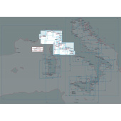
1-2 weeks delivery time Coastal navigation chart of Capraia and Gorgona Islands in the Ligurian and north-central Tyrrhenian Sea, issued by the Istituto Idrografico della Marina at scale 1:25,000 in 83 x 58 cm format.
|
$ 80.58
-
+
| ||
|
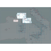
1-2 weeks delivery time Marine navigation chart of Elba Island in the Ligurian and north-central Tyrrhenian Sea, produced by the Istituto Idrografico della Marina at scale 1:40,000 in 116 x 83 cm format.
|
$ 80.58
-
+
| ||
|
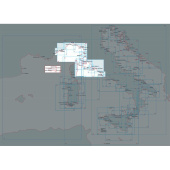
1-2 weeks delivery time Nautical chart covering Giannutri, Montecristo and Pianosa Islands in the Ligurian and north-central Tyrrhenian Sea, issued by the Istituto Idrografico della Marina at scale 1:25,000 in 83 x 58 cm format.
|
$ 55.03
-
+
| ||
|
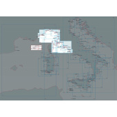
1-2 weeks delivery time Marine navigation chart of Giglio Island in the Ligurian and north-central Tyrrhenian Sea, produced by the Istituto Idrografico della Marina at scale 1:20,000 in 58 x 83 cm format.
|
$ 80.58
-
+
| ||
|
1-2 weeks delivery time Nautical chart of the coast of Livorno in the Ligurian and north-central Tyrrhenian Sea, issued by the Istituto Idrografico della Marina at scale 1:30,000 in 83 x 116 cm format.
|
$ 80.58
-
+
| ||
|
1-2 weeks delivery time Marine chart from Quercianella to Marina di Cecina in the Ligurian and north-central Tyrrhenian Sea, produced by the Istituto Idrografico della Marina at scale 1:30,000 in 83 x 116 cm format.
|
$ 80.58
-
+
| ||
|
1-2 weeks delivery time Nautical chart from Ombrone River to Argentario in the Ligurian and north-central Tyrrhenian Sea, issued by the Istituto Idrografico della Marina at scale 1:50,000 in 83 x 116 cm format.
|
$ 80.58
-
+
| ||
|
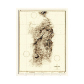
1-2 weeks delivery time Historical map of Sardinia Island (1890 edition) published by the Istituto Idrografico della Marina at scale 1:250,000 in 100 x 70 cm format.
|
$ 80.58
-
+
| ||
|
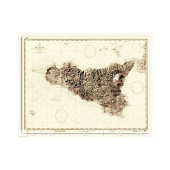
1-2 weeks delivery time Historical map of Sicily Island (1914 edition) issued by the Istituto Idrografico della Marina at scale 1:250,000 in 94 x 72 cm format.
|
$ 80.58
-
+
| ||
|
1-2 weeks delivery time Marine navigation chart from Golfo dell’Asinara to Passaggio dei Fornelli between Corsica and Sardinia, produced by the Istituto Idrografico della Marina at scale 1:50,000 in 116 x 75 cm format.
|
$ 80.58
-
+
| ||
|
1-2 weeks delivery time Nautical chart of Golfo di Olbia and Golfo Aranci in Corsica and Sardinia waters, issued by the Istituto Idrografico della Marina at scale 1:25,000 in 116 x 83 cm format.
|
$ 80.58
-
+
| ||
|
1-2 weeks delivery time Nautical chart of Corsica and Sardinia covering Est Maddalena, produced by the Istituto Idrografico della Marina at scale 1:25,000 in 83 x 116 cm format for detailed coastal navigation.
|
$ 80.58
-
+
| ||
|
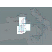
1-2 weeks delivery time Marine navigation chart of the Bonifacio Strait between Corsica and Sardinia, issued by the Istituto Idrografico della Marina at scale 1:50,000 in 116 x 83 cm format for precise route monitoring.
|
$ 80.58
-
+
| ||
|
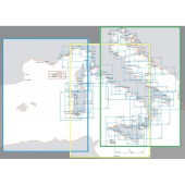
1-2 weeks delivery time Large-scale maritime chart from the Balearic Sea to the Tyrrhenian Sea including Ligurian and central-northern Tyrrhenian waters, produced by the Istituto Idrografico della Marina at scale 1:1,000,000 in 83 x 116 cm format.
|
$ 80.58
-
+
| ||
|
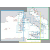
1-2 weeks delivery time Nautical chart covering the Ligurian Sea, Tyrrhenian Sea, and Strait of Sicily, issued by the Istituto Idrografico della Marina at scale 1:1,000,000 in 83 x 116 cm format for offshore navigation.
|
$ 80.58
-
+
| ||
|
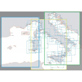
1-2 weeks delivery time Marine navigation chart spanning the Adriatic, Ionian, southern Tyrrhenian Sea and Strait of Sicily, produced by the Istituto Idrografico della Marina at scale 1:1,000,000 in 83 x 116 cm format.
|
$ 80.58
-
+
| ||
|
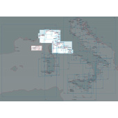
1-2 weeks delivery time Nautical chart from Nice to Piombino covering French and Italian coasts in the Ligurian and north-central Tyrrhenian Sea, issued by the Istituto Idrografico della Marina at scale 1:250,000 in 116 x 83 cm format.
|
$ 80.58
-
+
| ||
|
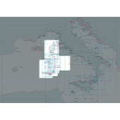
1-2 weeks delivery time Marine chart dedicated to Corsica Island waters, produced by the Istituto Idrografico della Marina at scale 1:250,000 in 83 x 116 cm format.
|
$ 80.58
-
+
| ||
|
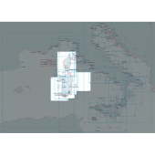
1-2 weeks delivery time Nautical chart from Capocaccia to Cape S. Elia between Corsica and Sardinia, issued by the Istituto Idrografico della Marina at scale 1:250,000 in 83 x 116 cm format.
|
$ 80.58
-
+
| ||
|
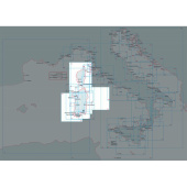
1-2 weeks delivery time Marine navigation chart from Capo Bellavista to Bonifacio in Corsica and Sardinia waters, produced by the Istituto Idrografico della Marina at scale 1:250,000 in 116 x 83 cm format.
|
$ 80.58
-
+
| ||
What are the key features of marine hardware available in the FNI catalog?
What are the key features of marine hardware available in the FNI catalog?