
The VDM - Reya Catalogue is a comprehensive resource featuring a wide range of high-quality marine steering systems and spare parts. Designed for both recreational and professional vessels, it includes components such as steering wheels, rudders, and control systems tailored for durability and precision in marine environments. These products are engineered to withstand harsh conditions, ensuring reliable performance for yachts, sailboats, and commercial vessels across various applications.
|
1-2 weeks delivery time Navigate the beautiful waters between Porto and Ajaccio with Navicarte n°1007. These detailed paper and laminated nautical charts feature port plans and bathymetric data from SHOM, at a scale of 1/100,000.
|
$ 37.71
-
+
| ||
|
1-2 weeks delivery time Discover the captivating waters surrounding Propriano, Bonifacio, and La Maddalena with Navicarte n°1008. This expertly crafted paper and laminated nautical chart includes port plans and bathymetric data from SHOM, with a scale of 1/100,000.
|
$ 37.71
-
+
| ||
|
1-2 weeks delivery time Navigating the scenic coastline of Ploumanac'h and Batz Island is made easy with Navicarte n°538 and n°539. These detailed paper and laminated nautical charts feature port plans and bathymetric data from SHOM, with a scale of 1/50,000.
|
$ 44.77
-
+
| ||
|
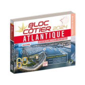
1-2 weeks delivery time The Atlantic Coastal Block is designed for safe navigation within six miles of the shore, meeting the latest regulations and including essential documentation. It features a coastal zone map at a scale of 1/10,000 and includes port entrances, sized at 180 x 230 mm.
|
$ 45.04
-
+
| ||
|
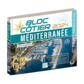
1-2 weeks delivery time The Mediterranean Coastal Block serves as an essential navigation tool for coastal waters, adhering to current regulations for areas less than six miles from safety. This compact edition includes a coastal zone map at a scale of 1/10,000 and port entrances, sized at 180 x 230 mm.
|
$ 45.04
-
+
| ||
|
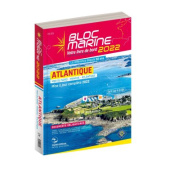
1-2 weeks delivery time The Atlantic Marine Block is a comprehensive navigation atlas, updated annually, providing all necessary information for safe passage across diverse waters. It covers navigation in the English Channel and the Atlantic, encompassing France, Belgium, South England, Spain, Portugal, Morocco, and the French West Indies, with a size of 30 x 32 cm.
|
$ 67.52
-
+
| ||
|
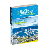
1-2 weeks delivery time The Mediterranean Sea Block is an indispensable navigation atlas, refreshed yearly to ensure the latest data on regulations, weather, tides, and currents. It covers navigation in the Mediterranean and includes information for France, Spain, Italy, Tunisia, Morocco, and the French West Indies, sized at 30 x 32 cm.
|
$ 67.52
-
+
| ||
|
1-2 weeks delivery time Explore the Mediterranean with Navicarte n°R1, a detailed road map perfect for long journeys along the stunning coastline from Marseille to San Remo. This paper and laminated nautical chart includes port plans and bathymetric data from SHOM, with a scale of 1/250,000.
|
$ 40.60
-
+
| ||
|
1-2 weeks delivery time Navigate the Gulf of Genoa with precision using Navicarte n°R2. This paper and laminated nautical chart features port plans and bathymetric data from SHOM, ensuring a smooth sailing experience at a scale of 1/350,000.
|
$ 37.71
-
+
| ||
|
1-2 weeks delivery time Discover the beautiful regions of Corsica and North Sardinia with Navicarte n°R3, an expertly crafted road map. This paper and laminated nautical chart includes port plans and bathymetric data from SHOM, with a scale of 1/250,000.
|
$ 37.71
-
+
| ||
|
1-2 weeks delivery time Navigate the stunning waters of the Gulf of Lion from Marseille to Barcelona with Navicarte n°R4. This comprehensive paper and laminated nautical chart features port plans and bathymetric data from SHOM, at a scale of 1/500,000.
|
$ 37.71
-
+
| ||
|
1-2 weeks delivery time Discover the coastal regions of Nice and San Remo with Navicarte n°500, featuring detailed nautical charts. This paper and laminated chart includes port plans and bathymetric data from SHOM, with a scale of 1/50,000.
|
$ 37.71
-
+
| ||
|
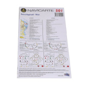
1-2 weeks delivery time Experience the rich maritime heritage of Saint Raphaël, Nice, and the Lérins Islands with Navicarte n°501. This expertly designed paper and laminated nautical chart includes port plans and bathymetric data from SHOM, with a scale of 1/50,000.
|
$ 37.71
-
+
| ||
|
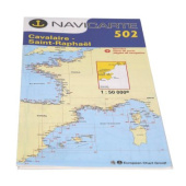
1-2 weeks delivery time Explore the scenic coastline between Cavalaire and Saint Raphaël with Navicarte n°502. This detailed paper and laminated nautical chart is perfect for any maritime adventure and includes port plans and bathymetric data from SHOM, at a scale of 1/50,000.
|
$ 37.71
-
+
| ||
|
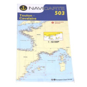
1-2 weeks delivery time Navigate the beautiful waters from Toulon to Cavalaire, including the stunning Hyères Islands, with Navicarte n°503. This expertly crafted paper and laminated nautical chart features port plans and bathymetric data from SHOM, with a scale of 1/50,000.
|
$ 37.71
-
+
| ||
|
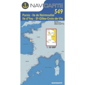
1-2 weeks delivery time Discover the stunning landscapes of Marseille, Toulon, and the Calanques with Navicarte n°504. This detailed paper and laminated nautical chart is designed for exploration and includes port plans and bathymetric data from SHOM, with a scale of 1/50,000.
|
$ 37.71
-
+
| ||
|
1-2 weeks delivery time Explore the unique nautical landscapes of southern France with Navicarte n°505, covering Port St. Louis, Etang de Berre, and Marseille. This paper and laminated nautical chart includes port plans and bathymetric data from SHOM, with a scale of 1/50,000.
|
$ 37.71
-
+
| ||
|
1-2 weeks delivery time Dive into the intricate waterways of the Camargue region with Navicarte n°507, featuring charts for Port Camargue and Port de Bouc. This paper and laminated nautical chart includes port plans and bathymetric data from SHOM, with a scale of 1/100,000.
|
$ 37.71
-
+
| ||
|
1-2 weeks delivery time Navigate the stunning coastlines of Sète with Navicarte n°508. This precise paper and laminated nautical chart covers Sète and Port Camargue and includes port plans and bathymetric data from SHOM, at a scale of 1/50,000.
|
$ 37.71
-
+
| ||
|
1-2 weeks delivery time Discover the beautiful waterways of Valras and Sète with Navicarte n°509. This high-quality paper and laminated nautical chart includes port plans and bathymetric data from SHOM, with a scale of 1/50,000.
|
$ 40.60
-
+
| ||
How are VDM-Reya’s mechanical steering systems designed to ensure reliability in harsh marine environments?
Mechanical steering systems from VDM-Reya, developed in Toulon since the company's inception, are designed with durability and precision to withstand harsh marine environments. They incorporate high-quality materials and advanced technical engineering to ensure resistance to corrosion, extreme weather, and constant exposure to saltwater. These systems are rigorously tested to provide reliable performance for a wide range of vessels, from recreational yachts to commercial ships.